Suggested Edit for Satellite
Suggested by pu4elt on: 2025-12-28 21:16
Citation: PU4ELT
Verdict: Approved
Reviewed by - on: 2025-12-29 11:04
| Name | GALAPAGOS-UTE-SWSU |
| NORAD ID | 98428 |
| Followed NORAD ID | - |
| Alternative Names | HC1PX |
| Description | The satellite was named after SWSU's long-standing partner, UTE University, and the Galapagos Island province of Ecuador, whose territory it will monitor from space. In addition to remote sensing of the Earth's surface, the UTE-GALÁPAGOS satellite will collect background radiation data in a low orbit of 400-500 km. Furthermore, UTE-GALÁPAGOS is equipped with an innovative ADS-B module. This technology allows pilots and air traffic controllers to monitor aircraft movements with greater accuracy and provide crews with more detailed situational awareness to enhance flight safety. UTE-GALÁPAGOS will also transmit Earth images, greetings, and images in SSTV format to a ground station. |
| Owner/Operator | - |
| Status |
|
| Countries of Origin | |
| Website | - |
| Dashboard URL | - |
| Launch Date | Dec. 28, 2025, 1:18 p.m. |
| Deploy Date | - |
| Image | 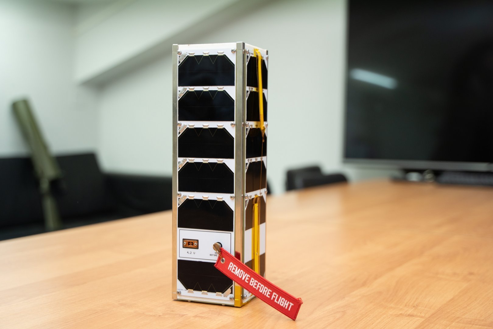 |
| Field | Previous | Suggested |
|---|---|---|
| Description | - | The satellite was named after SWSU's long-standing partner, UTE University, and the Galapagos Island province of Ecuador, whose territory it will monitor from space. In addition to remote sensing of the Earth's surface, the UTE-GALÁPAGOS satellite will collect background radiation data in a low orbit of 400-500 km. Furthermore, UTE-GALÁPAGOS is equipped with an innovative ADS-B module. This technology allows pilots and air traffic controllers to monitor aircraft movements with greater accuracy and provide crews with more detailed situational awareness to enhance flight safety. UTE-GALÁPAGOS will also transmit Earth images, greetings, and images in SSTV format to a ground station. |
| Image |

|
|