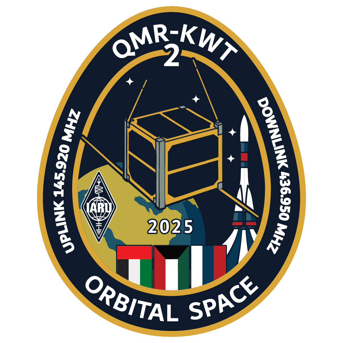
QMR-KWT 2
Mission information
- Name
- QMR-KWT 2
- Alternate Names
- RS95S
- Satellite ID
- KXQQ-3629-0199-1434-6296
- NORAD ID
- 67291
- Website
- https://www.orbital-space.com/projects
- Countries of Origin
-
Kuwait
Russia
Status
Operational
Satellite is in orbit and operational
Image
Mission timeline
- Launch Date
- 2025-12-28T13:18:00+00:00
Description
QMR-KWT 2 is a 1U CubeSat equipped with a low-resolution Earth imaging camera and an FM transponder (amateur radio VHF to UHF linear transponder), supporting educational satellite operations and events and activities by the amateur radio community.
The mission continues the QMR-KWT program (“Moon of Kuwait”), following the first QMR-KWT satellite launched in 2021. QMR-KWT 2 expands hands-on access to real spacecraft operations, including telemetry reception and image downlink from low Earth orbit.
SatNOGS Links
V/U FM Transponder
- Type
- Transceiver
- Service
- Amateur
- Downlink Mode
- FM
- Downlink Frequency
- 436950000
- Uplink Mode
- FM
- Uplink Frequency
- 145920000
- IARU Coordination
- IARU Coordinated
Mode U - GMSK2k4 - Telemetry
- Type
- Transmitter
- Service
- Amateur
- Downlink Mode
- GMSK
- Downlink Frequency
- 436950000
- Baud
- 9600
- IARU Coordination
- IARU Coordinated
SSTV
- Type
- Transmitter
- Service
- Amateur
- Downlink Mode
- SSTV
- Downlink Frequency
- 436950000
- IARU Coordination
- IARU Coordinated
Most Recent Observers (last 24h)
| Observer | Latest Data |
|---|---|
| EU1XX-KO33ru | 2026-03-31 11:52:21 UTC |
| PE0SAT-21-JO21mr | 2026-03-31 11:52:17 UTC |
| PE0SAT-JO21mr | 2026-03-31 11:52:17 UTC |
Data Frames Decoded - 30 Days
There is no decoded data for this satellite in the last 30
days.
Decoder: QMR-KWT 2 Telemetry
- Script Name
- sputnixusp
- Decoder Fields
- Click here
Orbital Elements
Latest Two-Line Element (TLE)
- TLE Source
- Space-Track.org
- TLE Updated
- 2026-03-31 09:20:06 UTC
- TLE Set
-
1 67291U 25313AV  26090.14383429  .00021693  00000-0  89123-3 0  9997
2 67291  97.3977 166.2760 0007865 266.1380  93.8958 15.24180092 14097