NOAA 20
Mission information
- Name
- NOAA 20
- Alternate Names
- JPSS-1
- Satellite ID
- UDBA-5128-1022-2939-7269
- NORAD ID
- 43013
- Website
- https://www.nesdis.noaa.gov/about/our-offices/joint-polar-satellite-system-jpss-program-office
- Country of Origin
-
United States of America
Status
Operational
Satellite is in orbit and operational
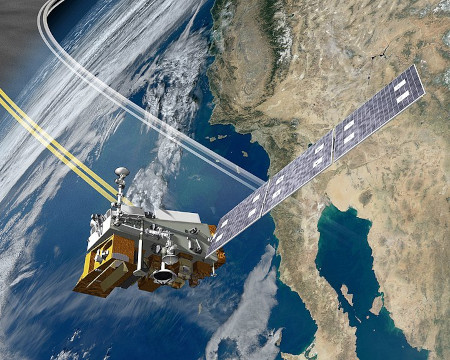
Image
Mission timeline
- Launch Date
- 2018-11-18T00:00:00+00:00
SatNOGS Links
Argos Downlink RHCP Mode C
- Type
- Transmitter
- Service
- Mobile
- Downlink Mode
- FM
- Downlink Frequency
- 7812000000
- Baud
- 30000000
Inter-satellite TLM RHCP Mode S
- Type
- Transmitter
- Service
- Inter-satellite
- Downlink Mode
- FM
- Downlink Frequency
- 2067270000
- Baud
- 6040000
Ka-Band dumps
- Type
- Transmitter
- Downlink Mode
- QPSK
- Downlink Frequency
- 26703400000
- Baud
- 300000000
X-Band Direct Broadcast
- Type
- Transmitter
- Service
- Meteorological
- Downlink Mode
- QPSK
- Downlink Frequency
- 7812000000
- Baud
- 15000000
SARSAT to LUT
- Type
- Transmitter
- Service
- Maritime
- Downlink Mode
- BPSK
- Downlink Frequency
- 1544500000
Inter-satellite ranging RHCP Mode L (24000000 bd)
- Type
- Transmitter
- Service
- Inter-satellite
- Downlink Mode
- FM
- Downlink Frequency
- 1227600000
Inter-satellite TLM RHCP Mode L (24000000 bd)
- Type
- Transmitter
- Service
- Inter-satellite
- Downlink Mode
- FM
- Downlink Frequency
- 1575420000
Mode S - TT&C (RHCP)
- Type
- Transmitter
- Service
- Meteorological
- Downlink Mode
- BPSK
- Downlink Frequency
- 2247500000
- Baud
- 800000
Most Recent Observers (last 24h)
No observations recorded for NOAA 20 in the last 24h
Data Frames Decoded - 30 Days
There is no decoded data for this satellite in the last 30
days.
No Decoders Found
Help us develop a decoder, you can find instructions at this wiki link
Orbital Elements
Latest Two-Line Element (TLE)
- TLE Source
- Space-Track.org
- TLE Updated
- 2026-03-27 01:19:38 UTC
- TLE Set
-
1 43013U 17073A   26085.88578292  .00000083  00000-0  60134-4 0  9998
2 43013  98.7710  26.1040 0001834 114.6553 245.4814 14.19540462432798