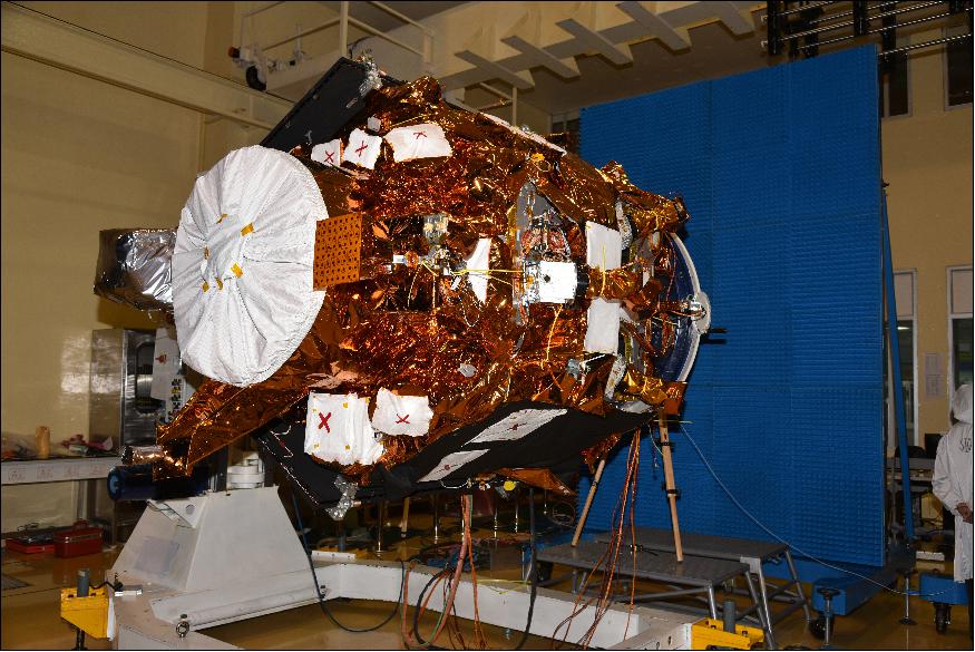
CARTOSAT-2E
Mission information
- Name
- CARTOSAT-2E
- Satellite ID
- XGDS-0339-8787-8774-6048
- NORAD ID
- 42767
Status
Operational
Satellite is in orbit and operational
Image
Description
Cartosat-2E is an Earth observation satellite developed by the Indian Space Research Organisation (ISRO), it follows the other Cartosat 2 satellites in the collection of high-resolution, large-scale imagery for use in urban planning, infrastructure development, utilities planning, and traffic management.
SatNOGS Links
Beacon
- Type
- Transmitter
- Downlink Mode
- CW
- Downlink Frequency
- 2245687000
- Downlink Drifted
- -5232
Most Recent Observers (last 24h)
No observations recorded for CARTOSAT-2E in the last 24h
Data Frames Decoded - 30 Days
There is no decoded data for this satellite in the last 30
days.
No Decoders Found
Help us develop a decoder, you can find instructions at this wiki link
Orbital Elements
Latest Two-Line Element (TLE)
- TLE Source
- Space-Track.org
- TLE Updated
- 2026-03-27 01:19:36 UTC
- TLE Set
-
1 42767U 17036C   26085.71488051 -.00000483  00000-0 -19782-4 0  9996
2 42767  97.4363 146.8379 0002518 219.7651 140.3399 15.19214614485623